News | Stories
Lessons From Turkey, Part Three
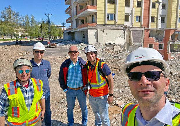
In April, Thornton Tomasetti engineers went to Turkey to collect data on how buildings and infrastructure performed during the recent Kahramanmaraş earthquake sequence. The February 6 7.8 magnitude earthquake, which hit southern Turkey and northern Syria, was one of the worst in recent years. The trip was led by Managing Principal and Forensics Practice Co-Leader John Abruzzo, Principal Kerem Gulec, Vice President Onur Ihtiyar, and Project Engineer Francisco Galvis, who wrote about the journey. The third in a series of articles is below.
In the final days of our trip, we continued to go further west to the cities of Osmaniye, Dortyol, Iskenderun and Arzus. We visited three hospitals in this region (two that were base isolated) and walked the shore of the Mediterranean Sea. In general, damage was significantly lower compared to what we saw previously. Most of the buildings that were damaged were over five stories; low rises (three stories or less) were largely unaffected regardless of year of construction.
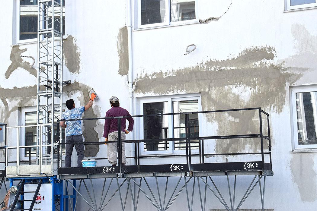
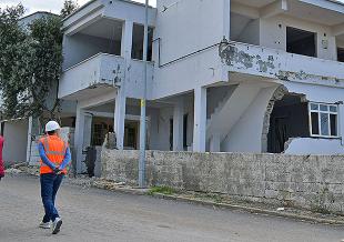
In Osmaniye, we visited an older fixed-based hospital that was operational. There was no significant damage to the structure—we only noticed cosmetic damage on some of the exterior walls. A few minutes from the hospital we found a development of newer 10-story residential buildings. These had cosmetic damage on the exterior masonry walls, and repair work was taking place to reinstall the plaster. These repairs, as well as ongoing construction using the same type of methods that nearly caused the destruction of the buildings next door, made us appreciate the dichotomy between building back faster and building back better. Perhaps there is a more effective balance that could be achieved with proper pre-disaster planning.
Our final stop in Osmaniye was at an immense and busy base-isolated hospital complex. The structure appeared to have a large, isolated platform that hosted three buildings of different heights. The hospital remained operational, as did the fixed-based buildings in the surrounding area. We then drove to Dortyol, a smaller town close to the Mediterranean Sea. We did not see damage during the drive as we had seen on previous days. Overall, newer building in this town looked undamaged regardless of height, while older buildings of five stories and more had minor damage on infill walls.
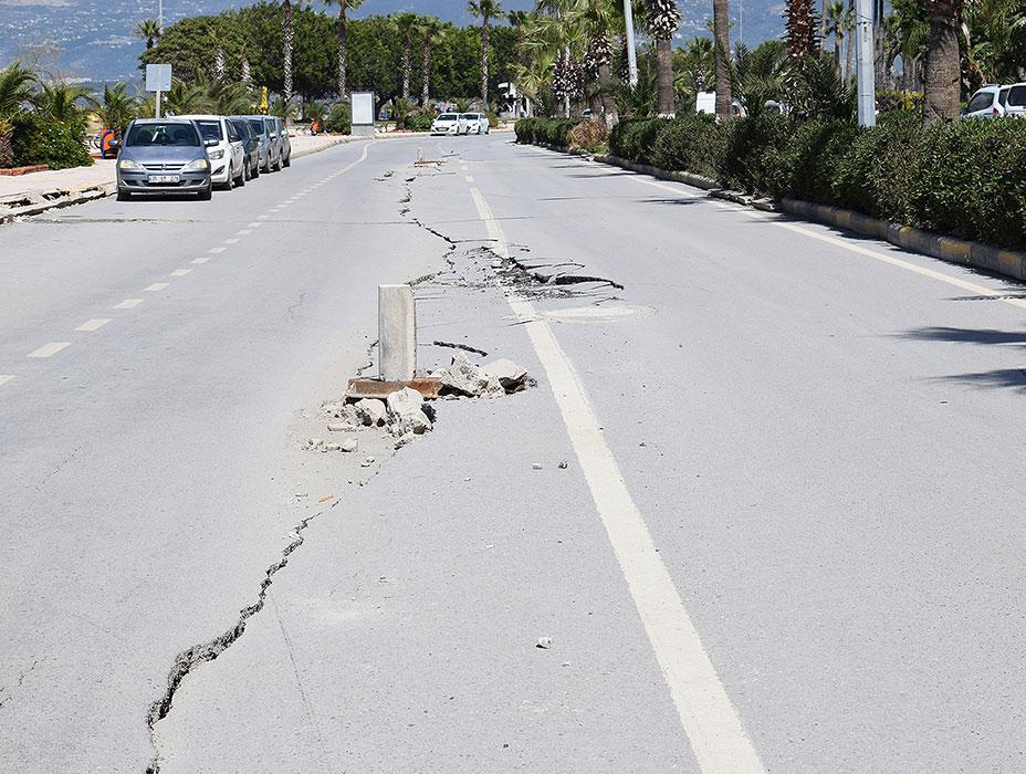
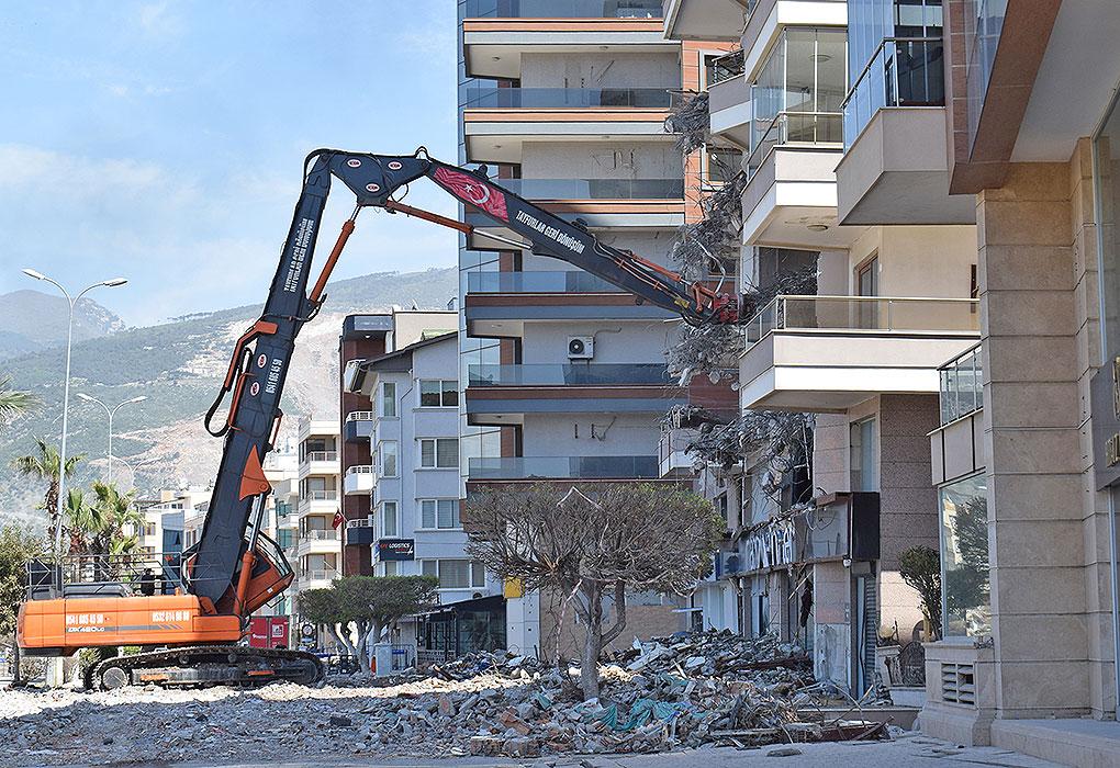
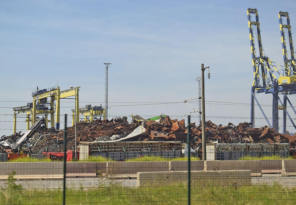
Iskenderum is one of the most important ports on this side of Turkey due to its concentration of significant amounts of industrial activity. We drove by the country’s largest steel production plant, which appeared to be operational. Part of the harbor was being repaired and cleaned since a large fire had broken out after the earthquake, which lasted several days. At the city center we saw evidence of liquefaction for the first time during our trip. The road was wavy, and sidewalks were cracked and uneven. On the waterfront, we also inspected buildings over ten stories, which had significant subsidence. Some of these had little to no damage, but had an evident permanent tilt from the foundation. We talked to a local geologist who was surveying the place, and he mentioned that the liquefied area was filled during the past few decades to extend the shore. Demolition crews were working on severely damaged buildings with significant residual drift.
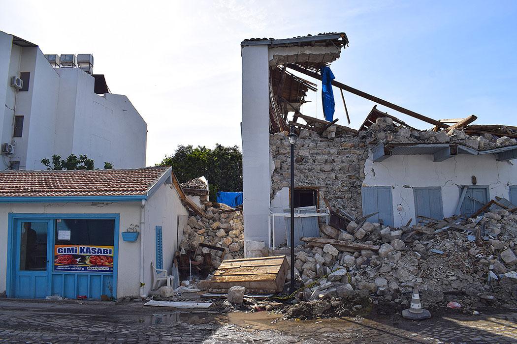
Our final stop was the coastal city of Arzus. This town is about 40km away from Antakya, but the damage there was far less. The city center had several historic buildings and small hotels. We saw damage on adobe construction. We found it interesting that most single-story adobe structures fared relatively well, while two-story adobe collapsed. The narrow lanes and proximity of buildings makes the cleaning and demolition work in this area very challenging.
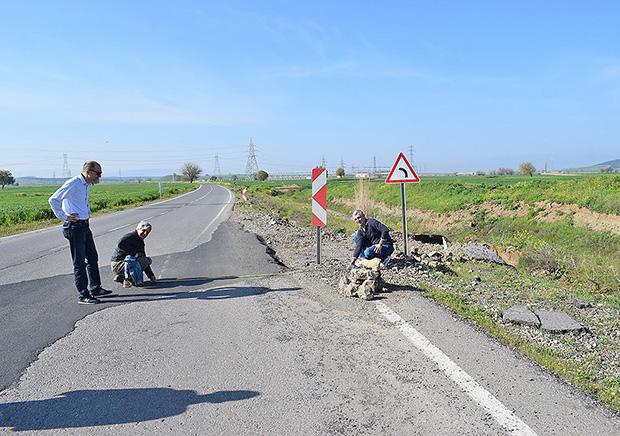
The major highlight of the day was observing the impacts of liquefaction on buildings close to the shore that were built on artificial fills used to gain land to the sea. This condition is prevalent in portions of downtown San Francisco, which is a reminder that the pathologies we were seeing here could also occur in places that we call home. During our last day in the affected area, we decided to visit both epicenter cities, Pazarcik and Elbistan. We also included a longer stop in Gölbaşı, which we had visited a couple of days ago and which had a deformed railroad track.
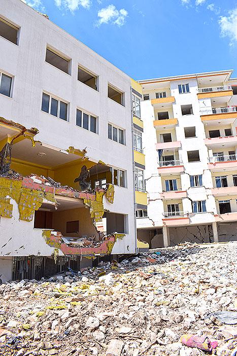
In Pazarcik, we visited a neighborhood constructed of pre-2000 low rises. Unlike what we had seen in other areas, many of the low-rise buildings here collapsed or had severe damage; perhaps the proximity to the rupture and the soil class contributed to this. Buildings of five stories or more behaved relatively well compared to what we have seen elsewhere, and most remained occupied. In the city center, most commercial shops were open on the first floor, but not on the second. We suspect that the second story concentrated the drift demand due to stiffness irregularity caused by the unintended stiffening of the building by infill walls, which make the partitions on the residential stories located above the third floor.
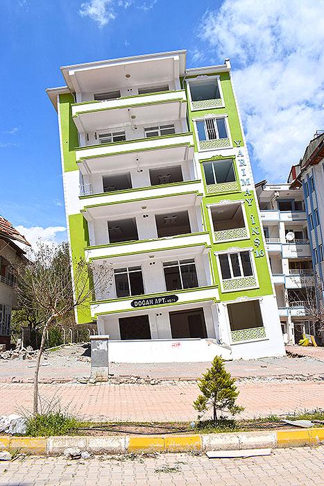
In Gölbaşı, we turned our attention to a residential development along the river consisting of buildings between five to eight stories. This area had significant liquefaction, and more than any of us had ever seen before. Many buildings collapsed (debris was already cleaned up) and those that remained standing had incredible inclination (10 to 20% drift from the foundation up). Some buildings sank uniformly almost an entire story (approximately 9 ft) clamping cars parked at the front. These sights reminded us that liquefaction could destroy a building that structurally may be well designed. As structural engineers of record on our projects, we should make sure that the geotechnical engineer carefully reviews the potential for liquefaction and proposes suitable mitigation strategies.
Finally, in the mountain city of Elbistan, we inspected a base-isolated hospital that remained operational. The structure was located on rock, presumably with the isolators in a crawl space that was not accessible to us. Further from the hills, we inspected a neighborhood of buildings five stories and higher. This area had multiple collapses, and the buildings that remained standing had the same type of pathologies we had observed before (severe damage on infill walls and non-structural components).
The drive back to Gaziantep was almost three hours long, and one of the longest of our trip. This gave us time to reflect on the striking differences in performance that soil conditions can cause, especially when compared to what we had seen in Gölbaşı and Elbistan. We were also surprised by the relatively lower amount of damage in both epicentral cities compared to cities in Hatay (Hassa, Kirikhan, and Antakya). We concluded that phenomena like forward directivity, basin edge effects, and soft soils may be more important than epicentral distance. Ultimately, an earthquake is the product of a ruptured area, rather than a single point.
Related News
Lessons From Turkey, Conclusion
Lessons From Turkey, Part Two
Lessons from Turkey

